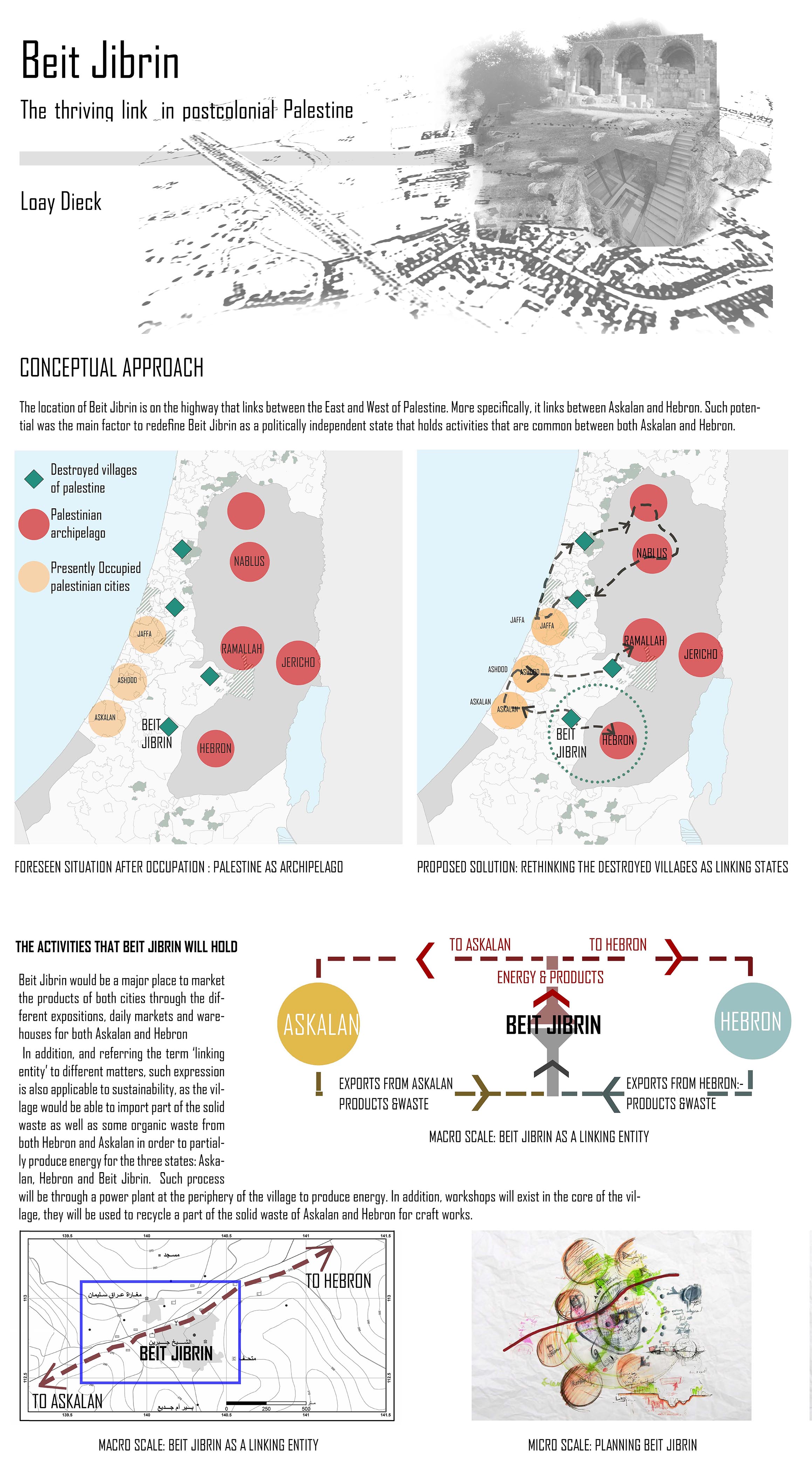
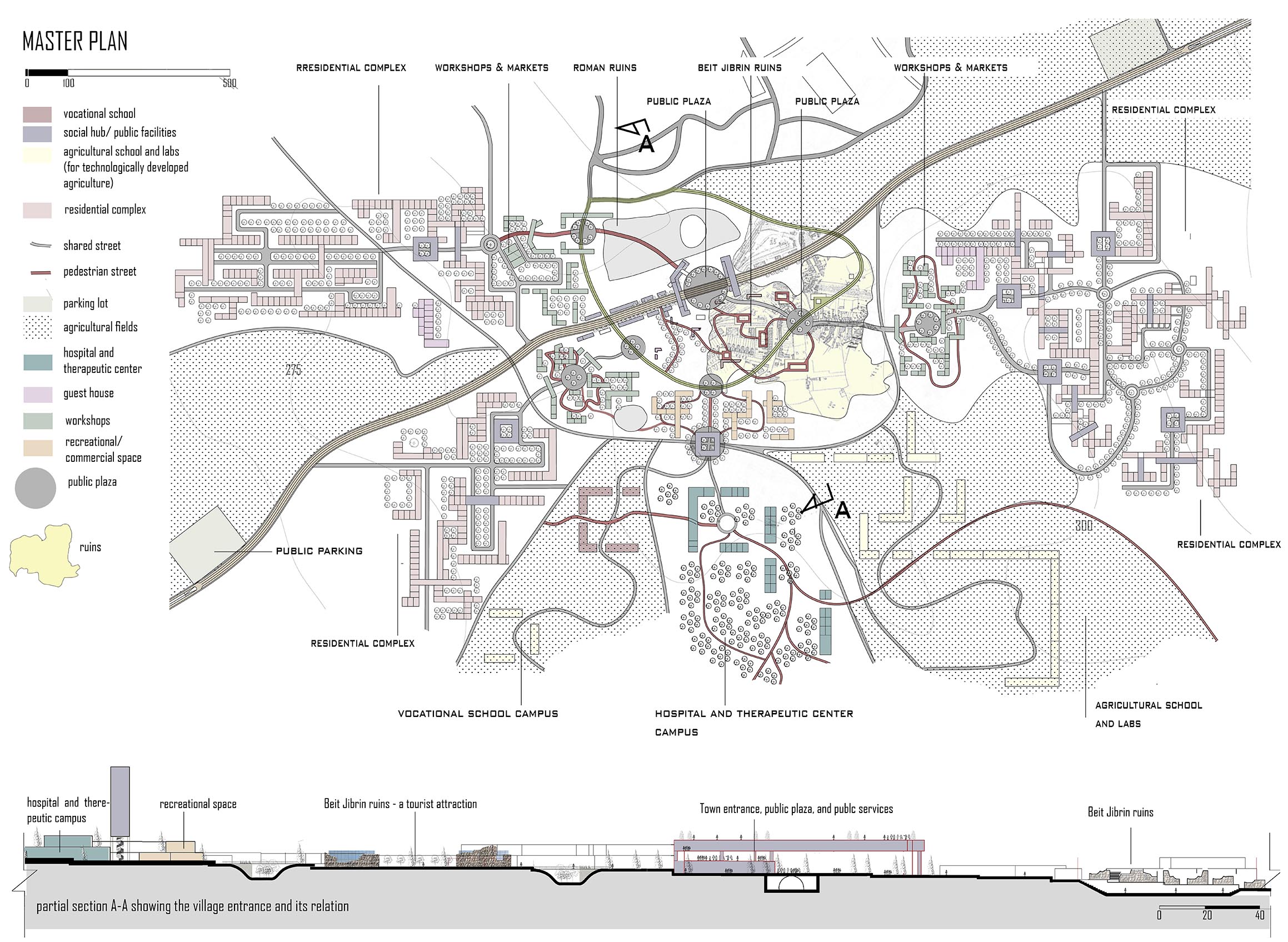
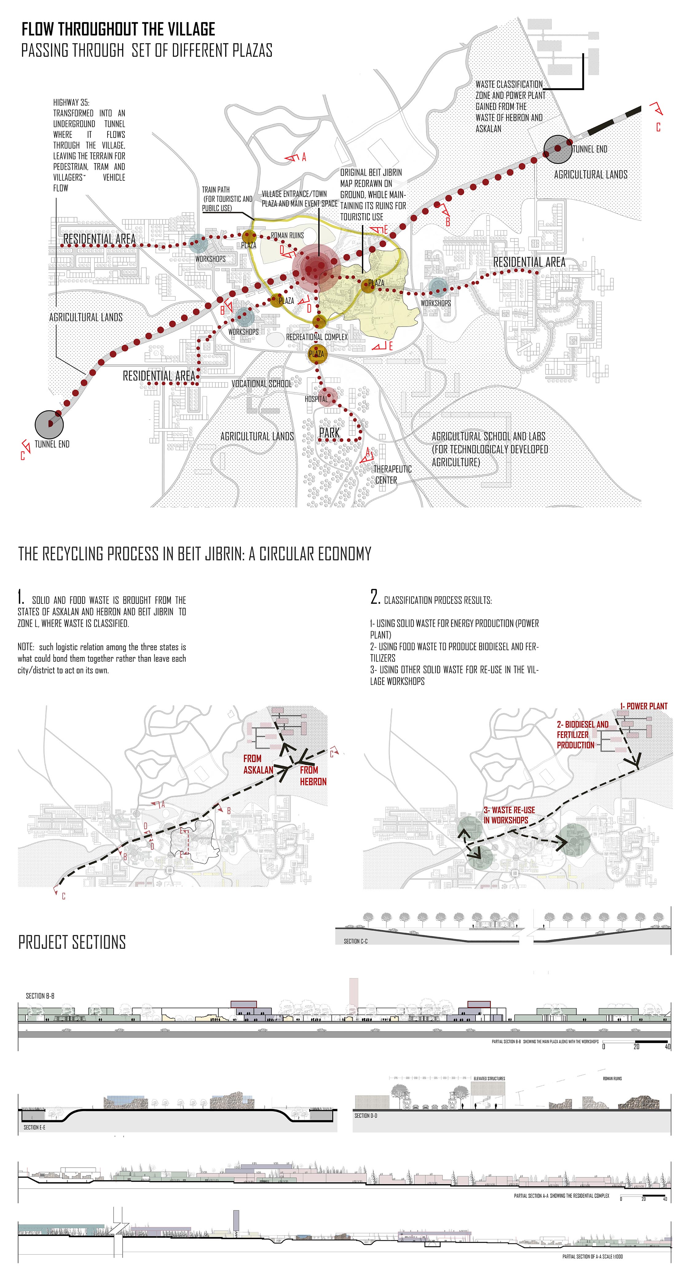
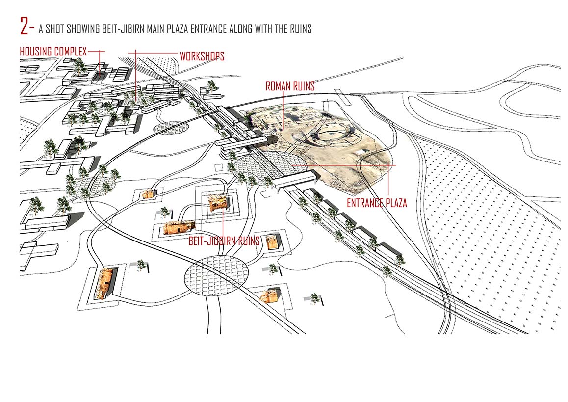
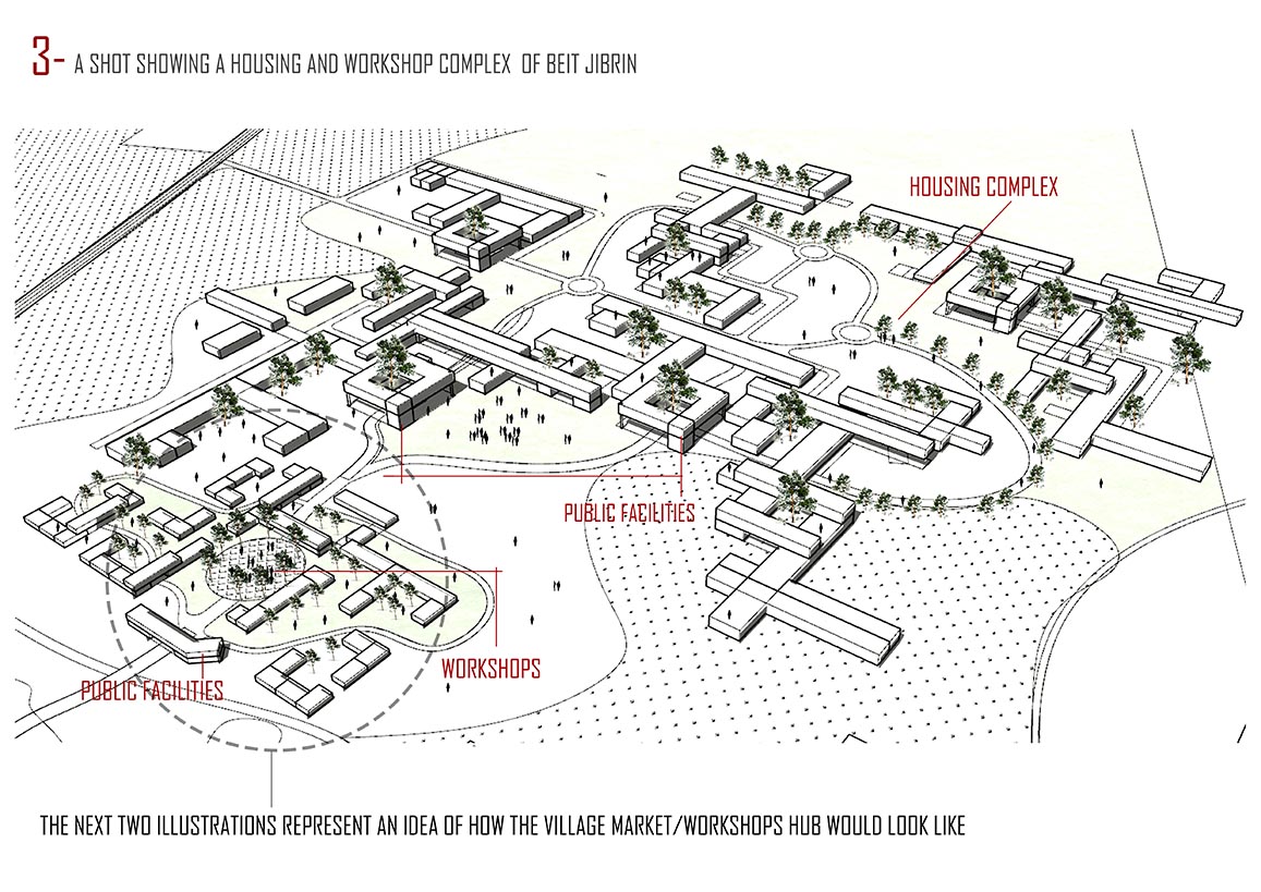
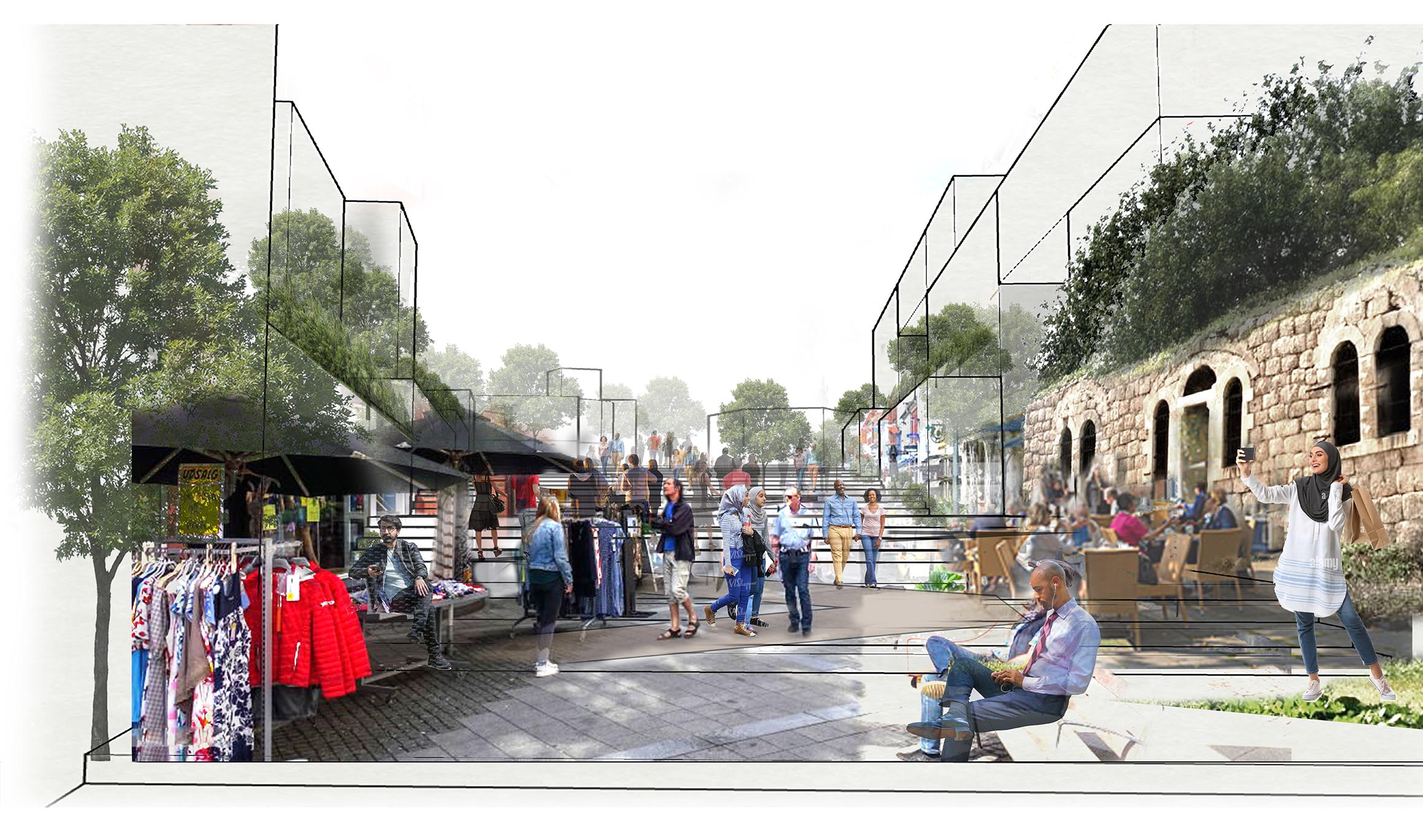
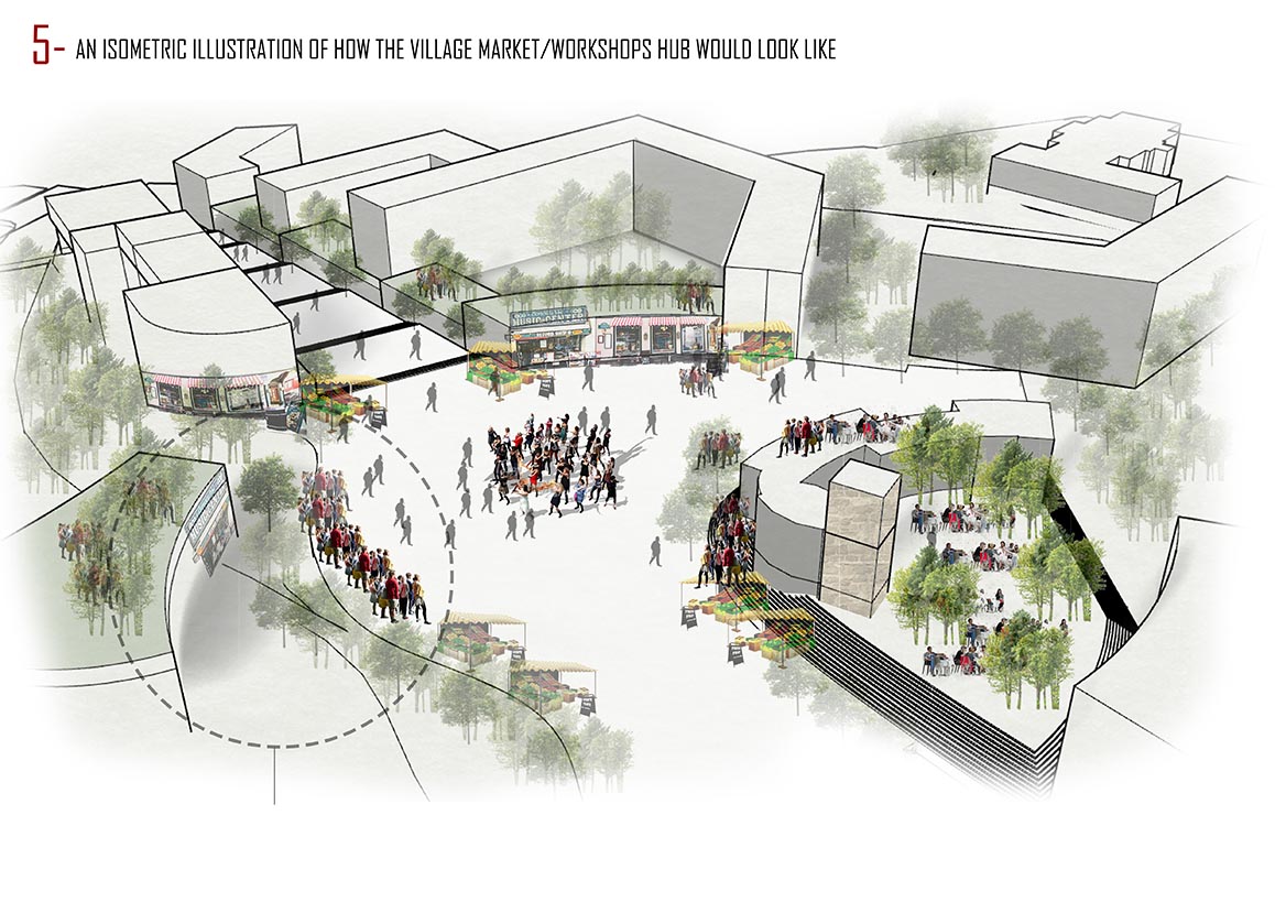
The village of Beit Jibrin, meaning the House of the Powerful, stood on the western foothills of the Hebron Mountains, just south of Beit Jibrin Valley, and owes its name to this geographical feature. Its position alongside the valley thrived when crucial routes were established to connect major Palestinian cities like Jerusalem, Hebron, and Ramla.
Historical records show how Beit Jibrin was a prominent town in different eras, such as during the Roman and Mamluk periods, as well as many other eras. It also served as a postal station between Gaza and al-Karak (a town in Jordan) in the late thirteenth century. Beit Jibrin continued to prosper even during the British Mandate, functioning as a major socio-economic hub for the surrounding region. Its weekly markets thrived, and its service centres were open to the village and its surroundings. Additionally, the village was active in agriculture, with grain and fruit being its primary produce.
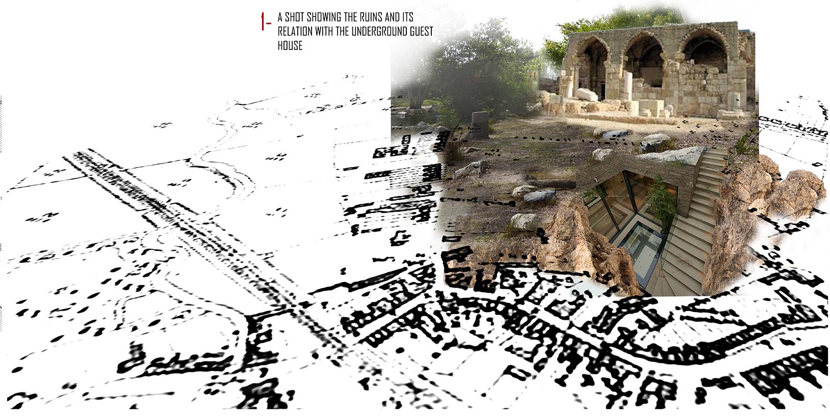
However, in 1948, the occupation forces attacked the village and emptied it of its inhabitants, and many of its buildings were demolished. Today, all that remains are a mosque, a shrine, and some houses. In 1949, a settlement named Beit Guvrin was established on the lands of the village. While the settlement continues to exist, the village ruins now only serve as a tourist attraction, surrounded by overgrown shrubs, cacti, and eucalyptus trees.
